
Click Here to see Part 1.
We continue our walk along the pedestrian path. We see Matilde Beach. To the right of the picture the bridge of the N-550 road over the Verdugo River which has its river mouth here.


We leave behind the beach.

This wooden walkway crosses under the bridge of the road N-550.


Now we are just under the bridge of the N-550 road and see the iron structures of the two railway bridges which are next to the bridge of the N-550. One of them, the oldest, of the nineteenth century is no longer in use to be replaced by the new (2010) of the High Speed Train AVE. In the background we also see the medieval bridge in Ponte Sampaio.


These are the three bridges. Which is located in the middle is the one that was built in the 19th century.


River Verdugo.


The medieval bridge in Ponte Sampaio.

We are now under the new bridge (2010) for the High Speed Train.

River mouth of the River Verdugo.


The new bridge (2010) for the High Speed Train.


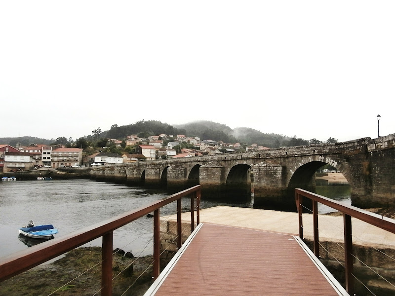
We are approaching the medieval bridge of Ponte Sampaio.


This wooden walkway leads us to the bridge.


We have reached the end of our walk of today.

The medieval bridge of Ponte Sampaio.


The End.
No comments:
Post a Comment