Today we will visit the fishing port and marina of Portosín. It belongs to the municipality of Porto do Son of about 9600 inhabitants situated on the south bank of the Ría de Muros y Noia southwest of the Province of A Coruña.

Coordinates to find the location of Porto do Son in Galicia. Extend the map and reach the Fishing Port and Marina of Portosín: 42.758911, -8.947712
The numbers shown underneath the photos are the map coordinates of the location from where each photo was taken.
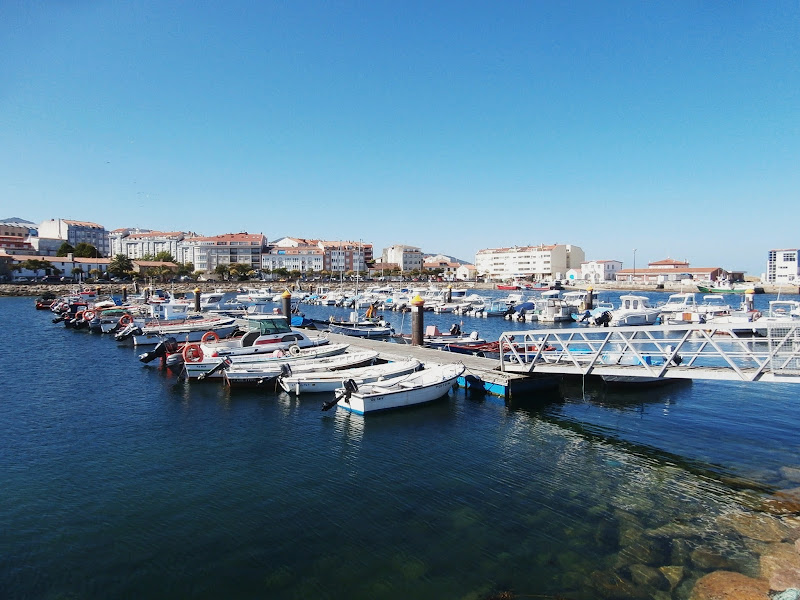
The port can be divided into three parts: the dock where the largest ships are mainly but not only dedicated to purse seine fishing (https://en.wikipedia.org/wiki/Seine_fishing); in the middle there are two jetties with small fishing and recreational boats and also the Real Club Náutico de Portosín (Royal Yacht Club) with its own private facilities (http://www.rcnportosin.com/index.php/en/).
We start our walk at this point of the seafront. We will go first to our left to the dock for purse seine boats, will return to the two jetties and continue along the promenade to the Real Club Náutico.


These are pots (creels) stored on the port quay. They are made to catch octopus and also for small crabs, shrimps, spider crabs, pout and conger eel.

Portosín.


We can see in the background of the picture the facilities of the Real Club Náutico de Portosín.


The Real Club Náutico de Portosín is seen from this part of the port.

The main breakwater of the port.


We have reached the end of the breakwater.

Open sea from the end of the breakwater. Ría de Muros y Noia. We have walked along the breakwater and the two sailboats have already got away. We can see to the right of the picture the Monte Louro (Mount Louro). It belongs to the municipality of Muros on the other bank of the Ría.
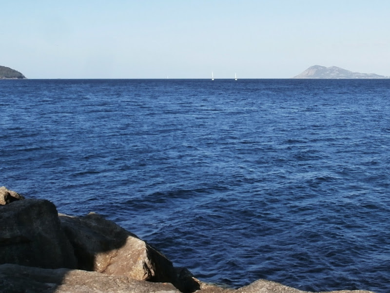
This is the Isla Quiebra (Quiebra Island) on the north bank of the Ría.


We return to the starting point. We can see from here the part of the port dedicated to small fishing and recreational boats, the two jetties. Now we will walk along the seafront of Portosín in the opposite direction of the main breakwater, toward the Real Club Náutico.


These are the two jetties we have mentioned before. As can be seen it is dedicated to small boats.


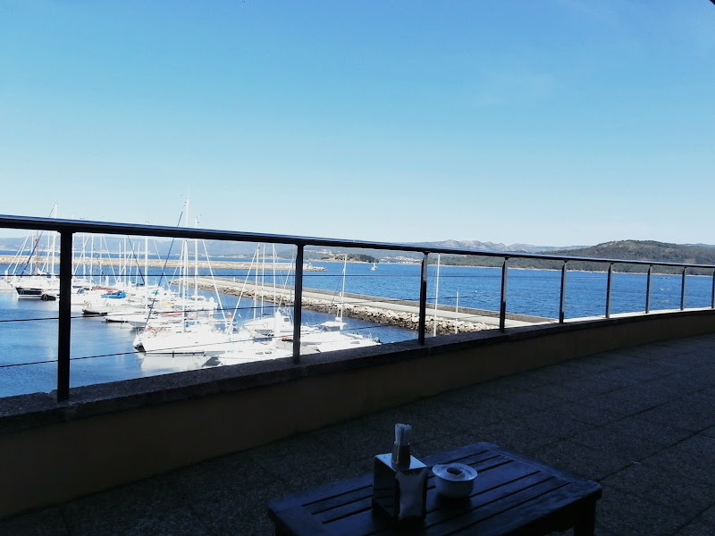
Now we visit the Real Club Náutico de Portosín. Since it is a private facility we thank the people who allowed us to enter and treated us so kindly.


The End.
No comments:
Post a Comment