Today
we will visit the fishing port and marina of Portosín. It belongs to the municipality of Porto do Son of about 9600 inhabitants situated on the south bank
of the Ría de Muros y Noia southwest
of the Province of A Coruña.
The
main breakwater of the port.
Coordinates
to find the location of Porto do Son in Galicia. Extend the map and reach the
Fishing Port and Marina of Portosín: 42.758911, -8.947712
The
numbers shown underneath the photos are the map coordinates of the location
from where each photo was taken.
We
return to Ribeira a municipality of the Province of A Coruña located on the north bank of the Ría de Arousa. We will
visit the spectacular beach of Balieiros.
It
is located to the north of Cape Corrubedo, where is the lighthouse and in the Ría de Muros y Noia. It is on the open
sea with strong currents that make swimming in it can be somewhat dangerous. It
has a length of 1.5 kilometers that invite us to take pleasant walks because it
is not a frequented beach.
Our previous visit to the lighthouse of Corrubedo can be seen Here.
We
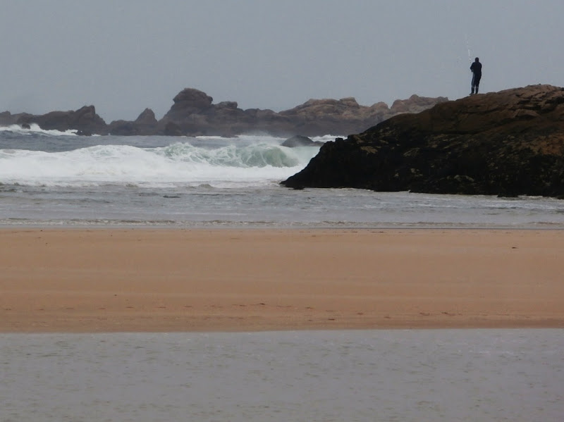
have visited the beach in two very different summer days, one bright and clear
and the other with the weather somewhat unsettled, although nothing serious
because a harsh winter storm here has to be worth seeing.
Coordinates
to find the location of Ribeira in Galicia. Extend the map and reach Balieiros
Beach: 42.582955, -9.077271
https://en.wikipedia.org/wiki/Ribeira,_Galicia